|
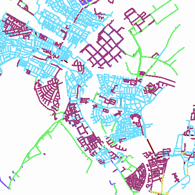
Width: 400 Height: 400 Extent:
YMin: 465123.989570875 XMax: 91976.33679856498 YMax: 469836.42243688303 Spatial Reference: 28992 (28992) LatestVCSWkid(0) Scale: 44526.83566433658 |
| ArcGIS REST Services Directory | Login | Get Token |
| Home > services > Rioolstelsel (MapServer) > export | API Reference |
|
|
Width: 400 Height: 400 Extent:
YMin: 465123.989570875 XMax: 91976.33679856498 YMax: 469836.42243688303 Spatial Reference: 28992 (28992) LatestVCSWkid(0) Scale: 44526.83566433658 |